
类库 › gods-eye-view
bilawalsidhu

bilawalsidhu/gods-eye-view

God's Eye View是一个基于浏览器的实时开源空间情报模拟器。它通过逼真的3D地球展示真实的飞机、船舶、卫星及地震等数据,并支持AI语音控制。该项目旨在提供直观的全球动态可视化体验,用户可直接在Web端或本地终端运行。
40,297 8,170 40,297 223
在 GitHub 上查看
bilawalsidhu/gods-eye-view

技术栈

根目录 javascript

构建工具

Vite ^6.0.0

代码规范

Prettier 3.9.6
查看全部依赖 (10)

依赖

@mapbox/vector-tile ^3.0.0 cesium ^1.124.0 egm96-universal ^1.1.1 mgrs ^2.1.0 pbf ^5.1.2 satellite.js ^6.0.2

开发依赖

puppeteer ^25.10.0 sharp ^0.35.4 vite-plugin-cesium ^1.2.23 ws ^8.21.0

截图
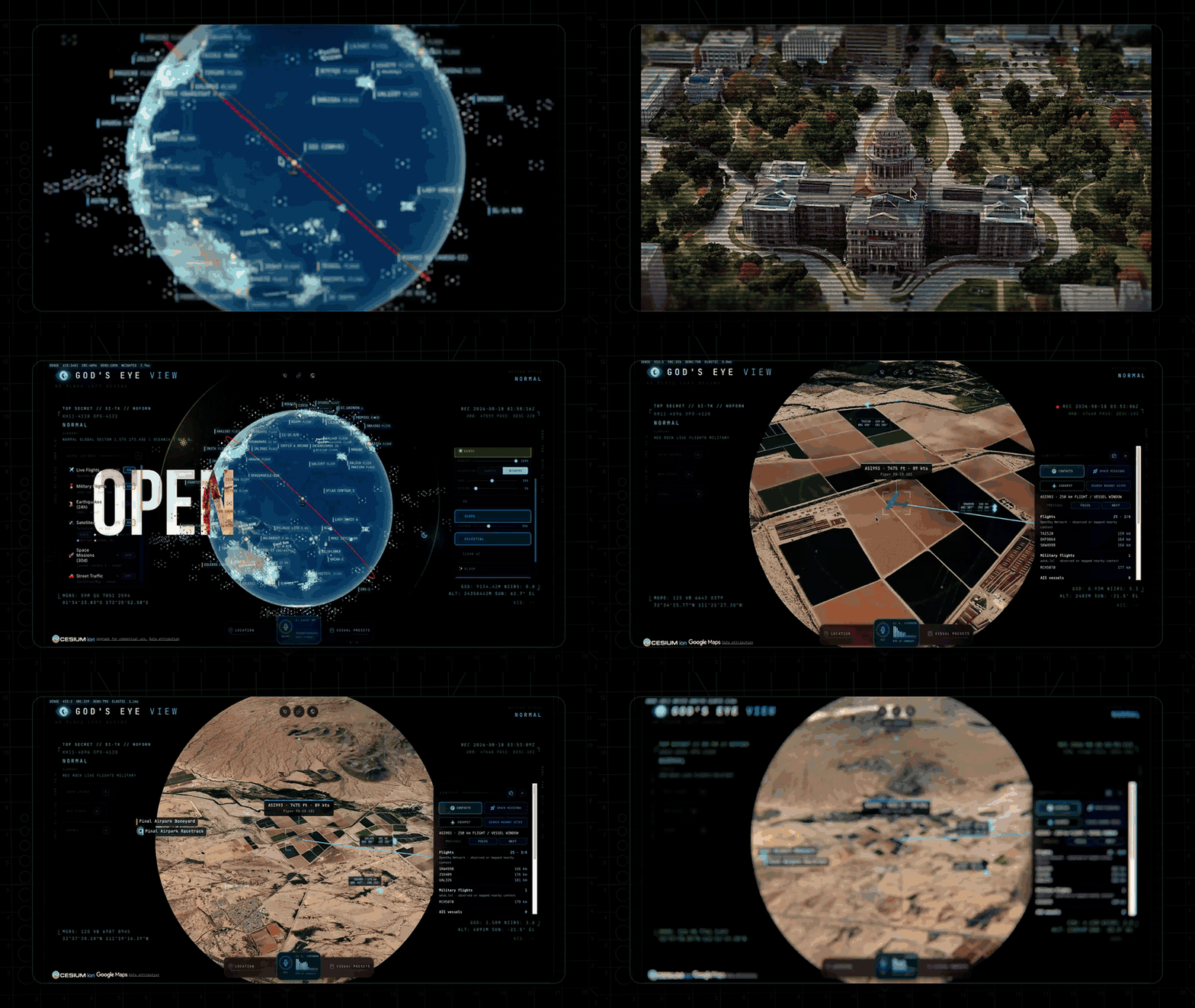
Orbital HUD, a tracked live globe, FLIR terrain — then OPEN SOURCED
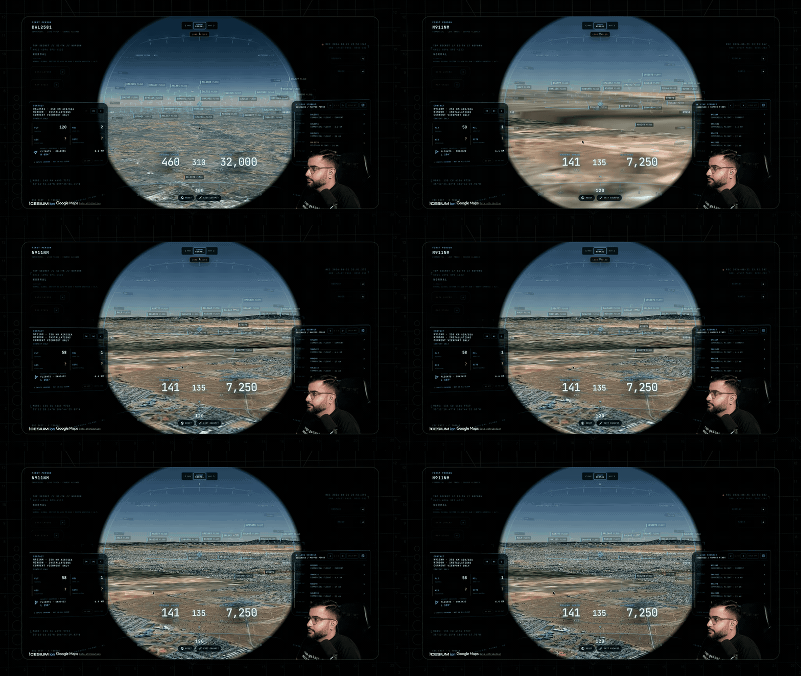
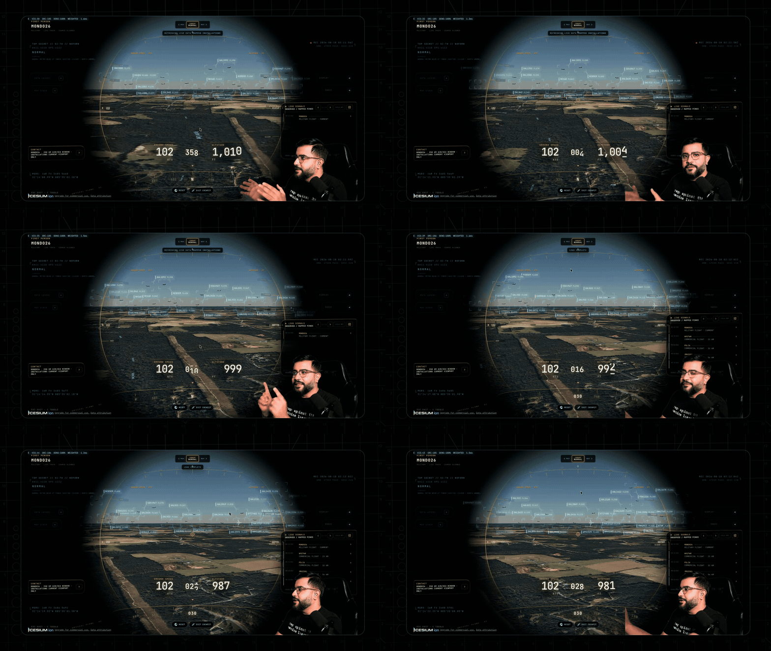
Riding with a live aircraft in cockpit view while switching sensor modes
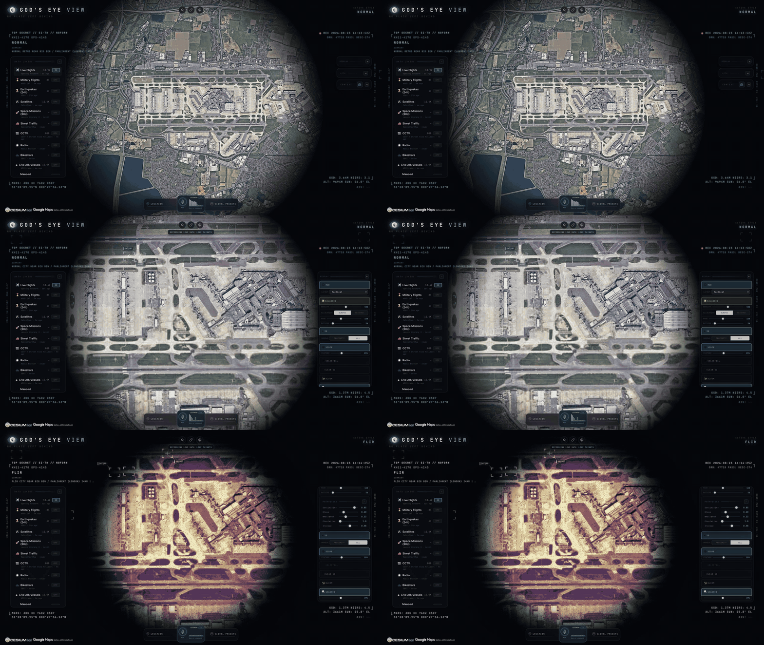
Moving from a full airport overhead down to close taxiway inspection with 3D flight models
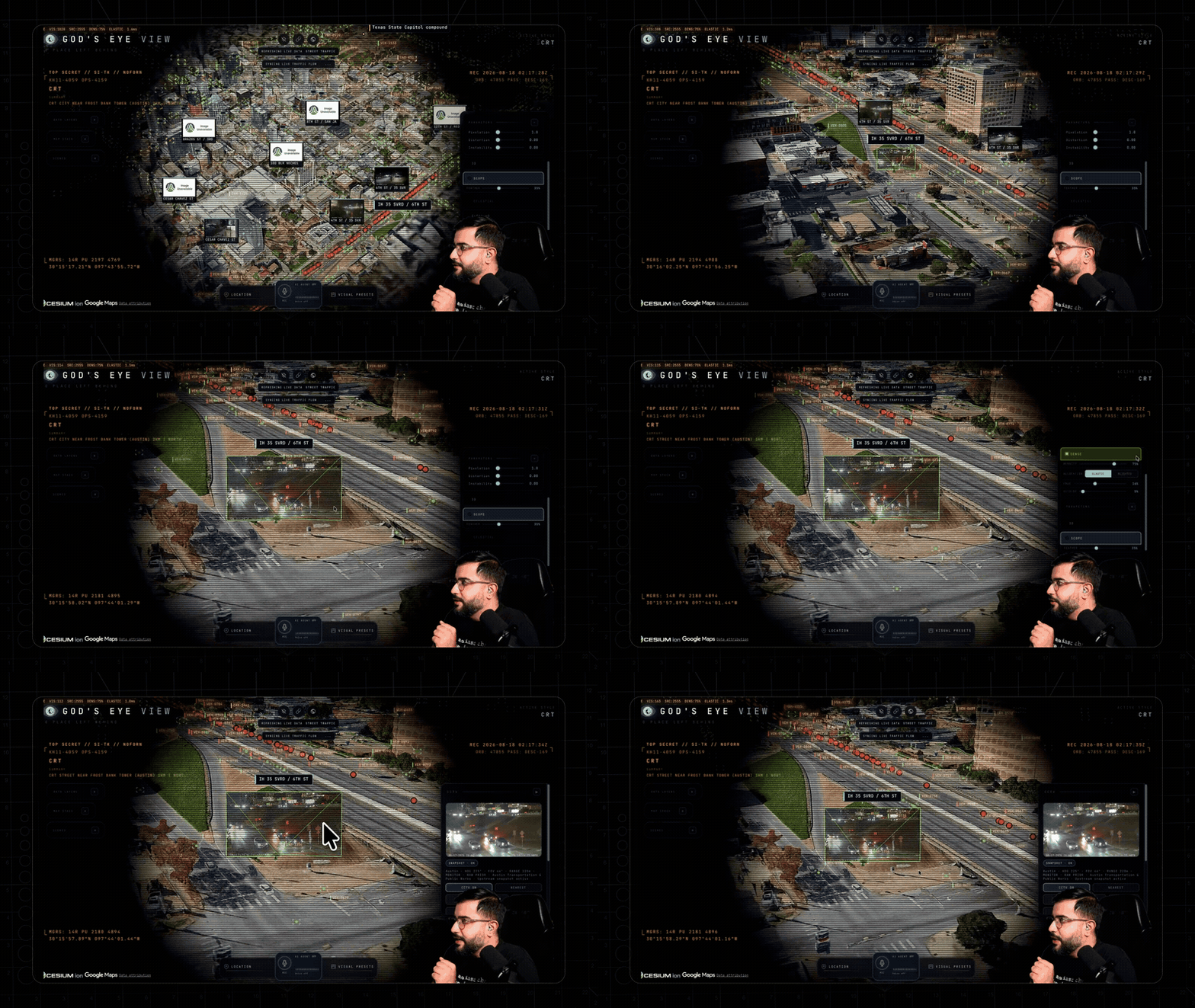
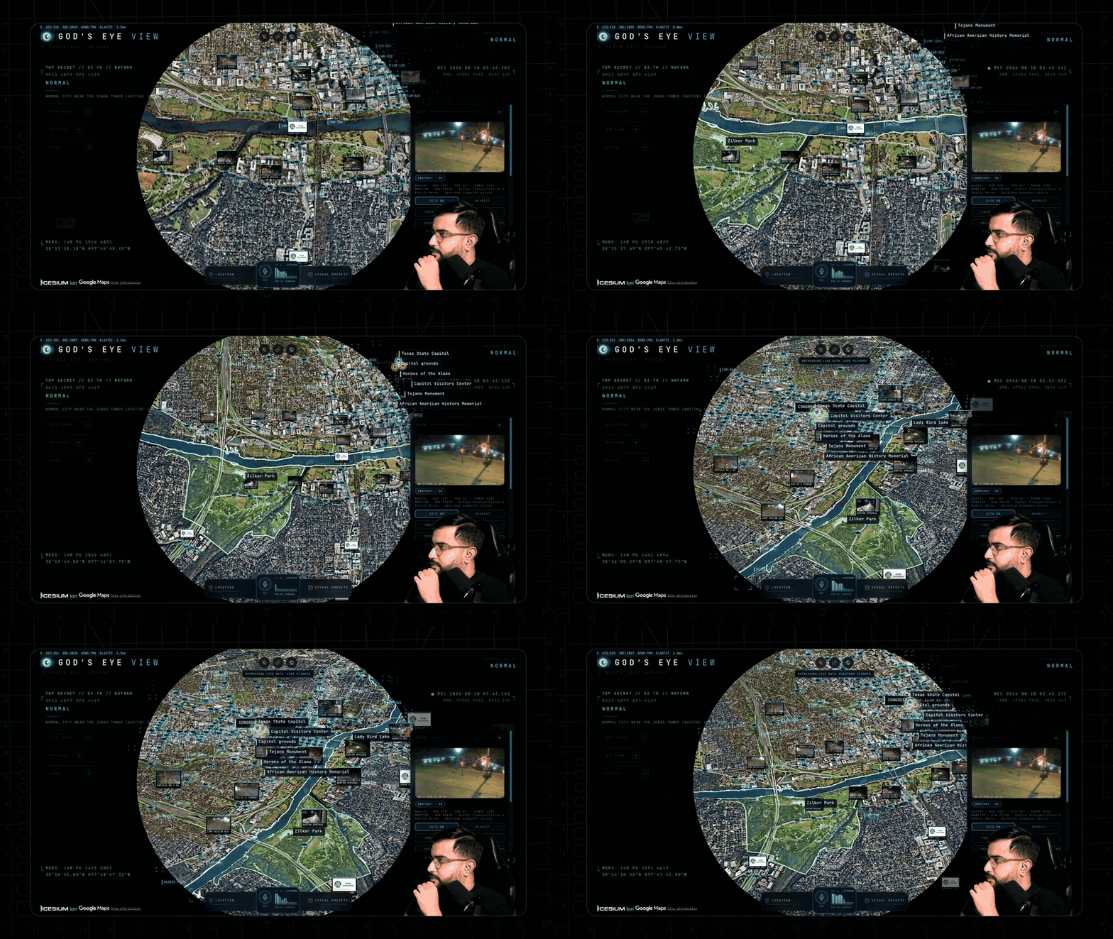
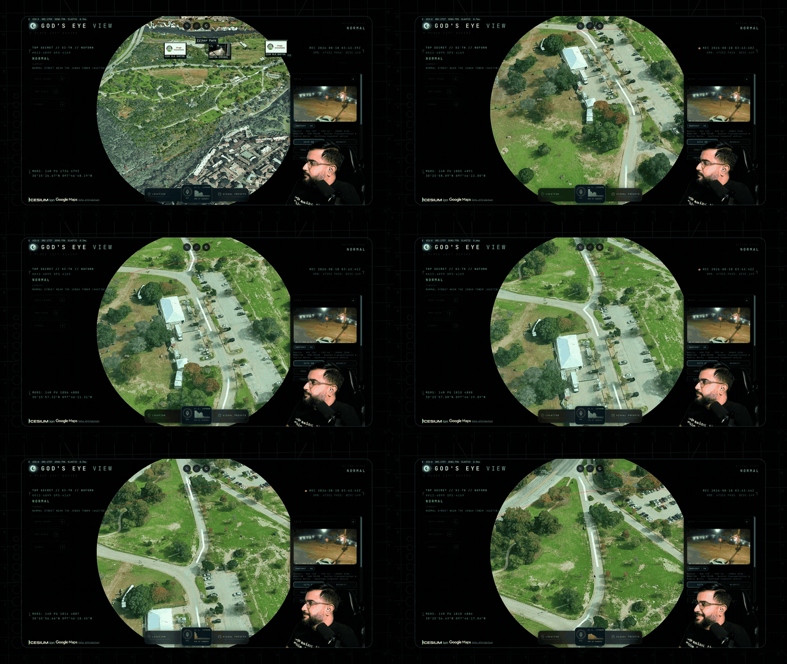
Diving into an Austin intersection with a live public camera projected into the 3D scene
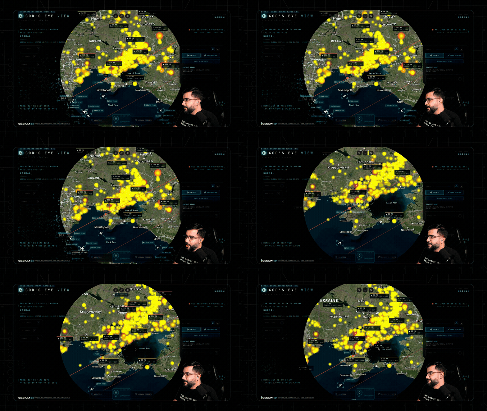
Tracking the ISS along its orbital path as it crosses over Ukraine
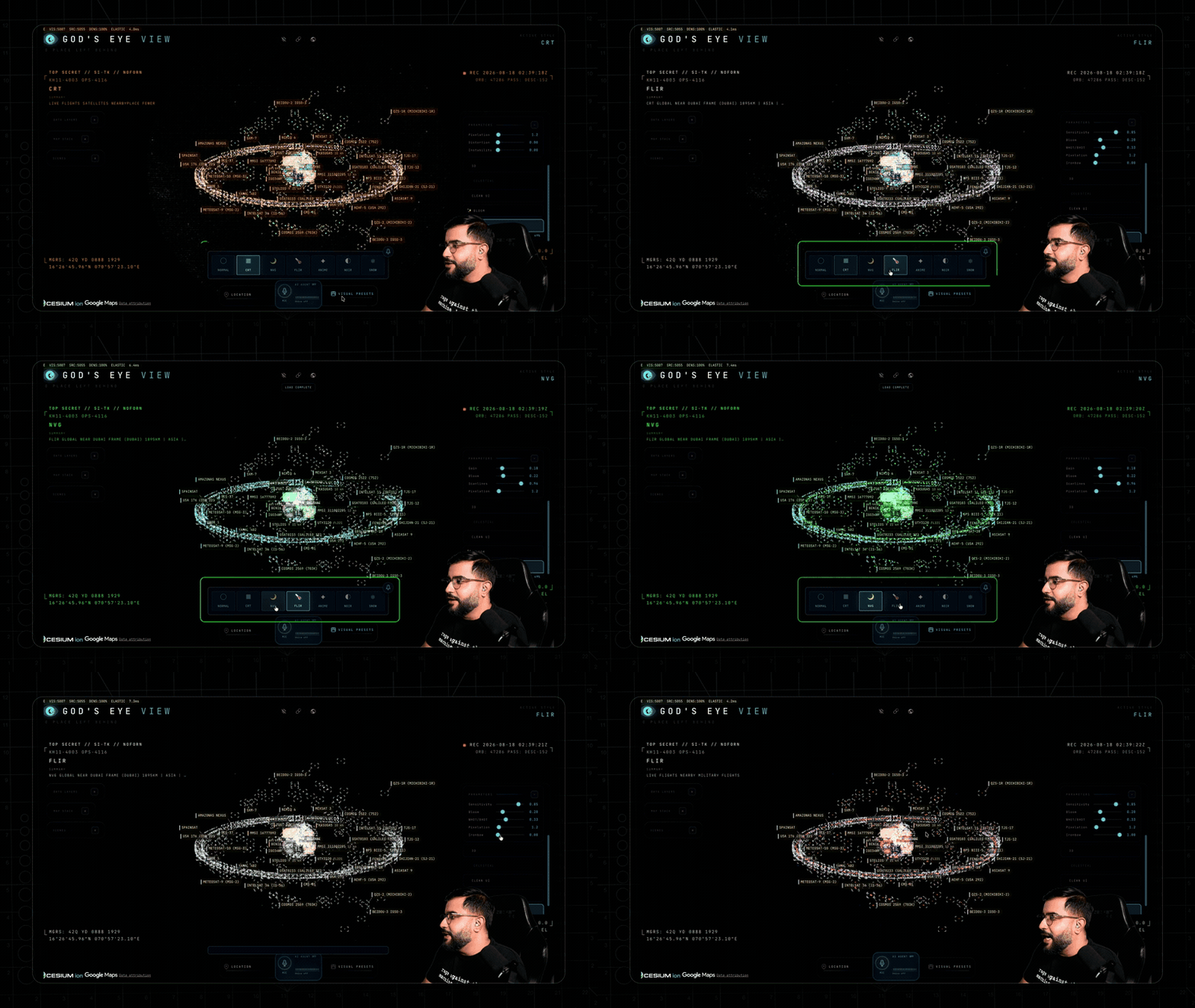
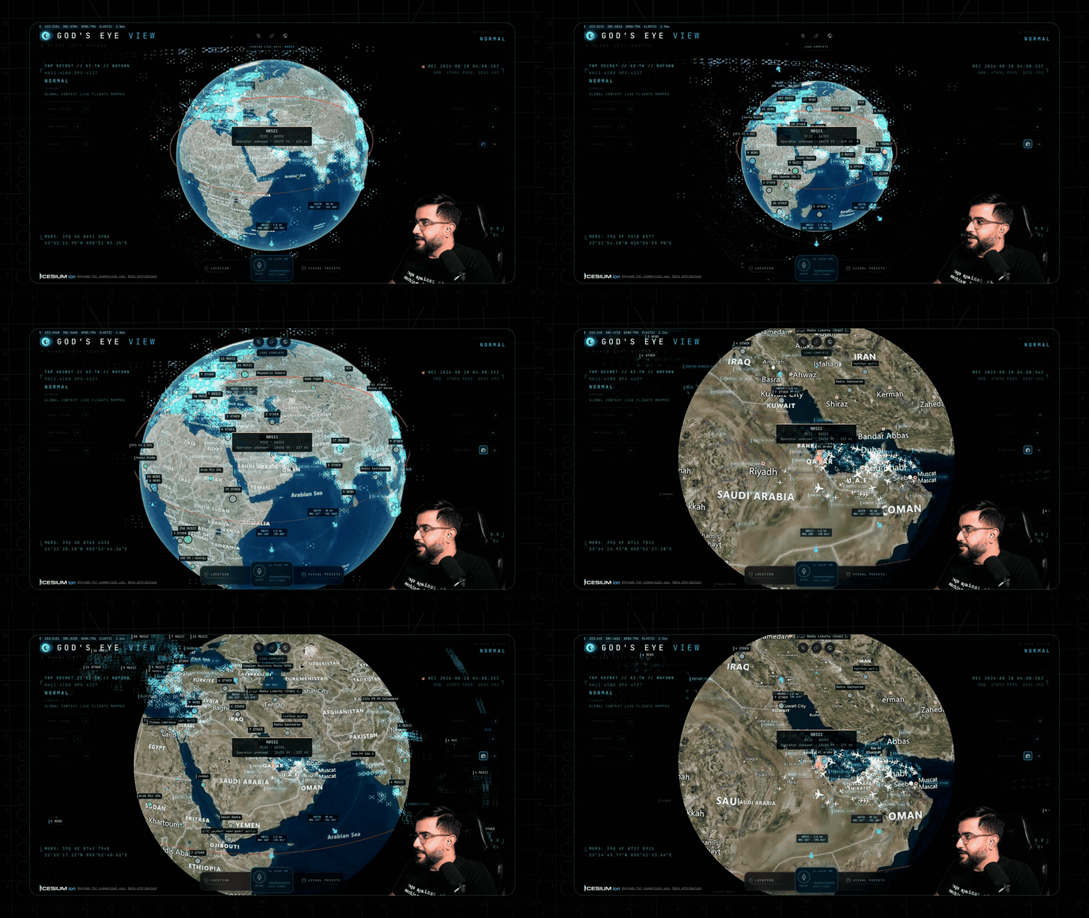
Cycling a dense live globe through CRT, FLIR, and NVG in one continuous view
Jumping between live aircraft and falling straight into a cockpit view
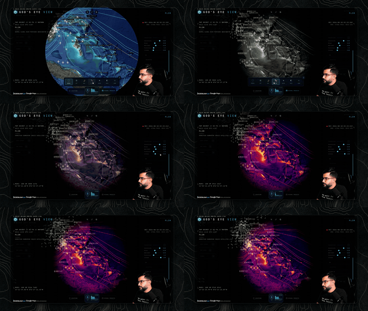
A live military contact ridden through Normal, NVG, and Ironbow FLIR with dense detection
Zilker Park and Lady Bird Lake drawing onto the 3D city as persistent vector annotations, by voice
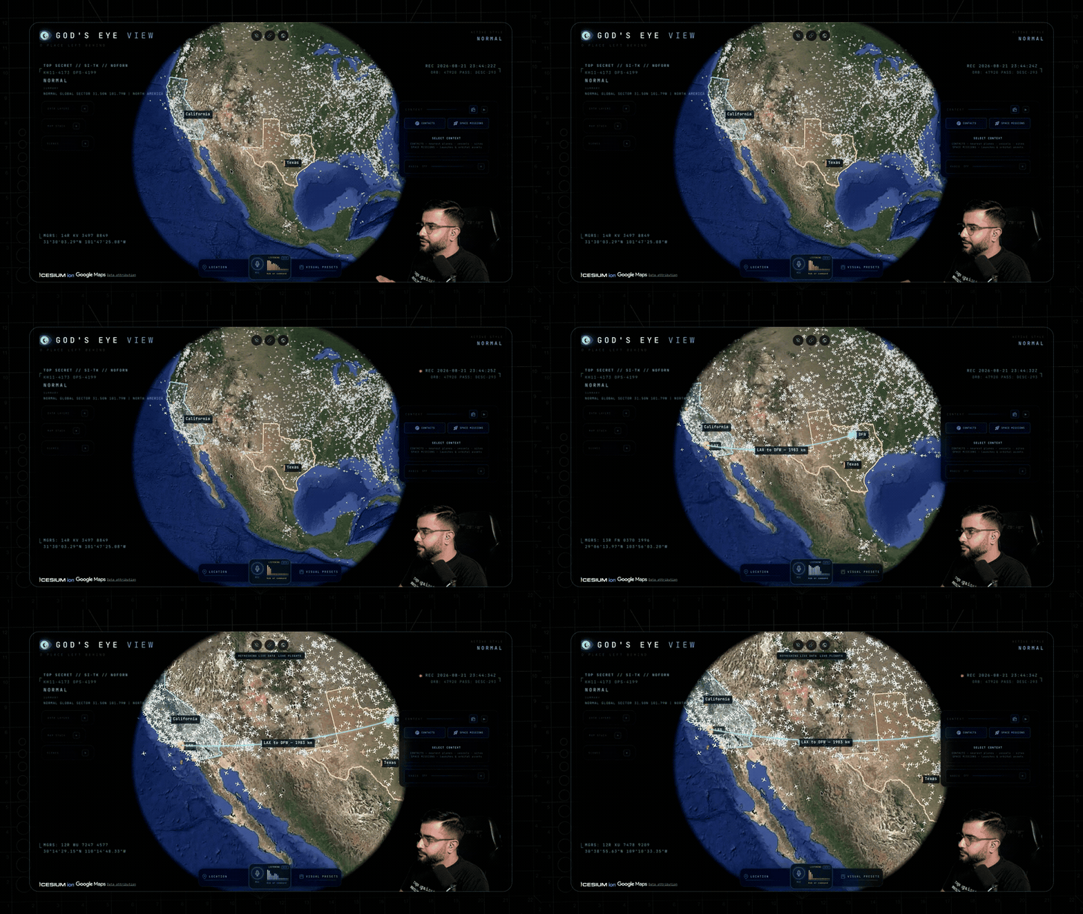
A spoken distance measurement spanning an airport, inspected from orbit
The globe populating with the world's radio stations as another live layer
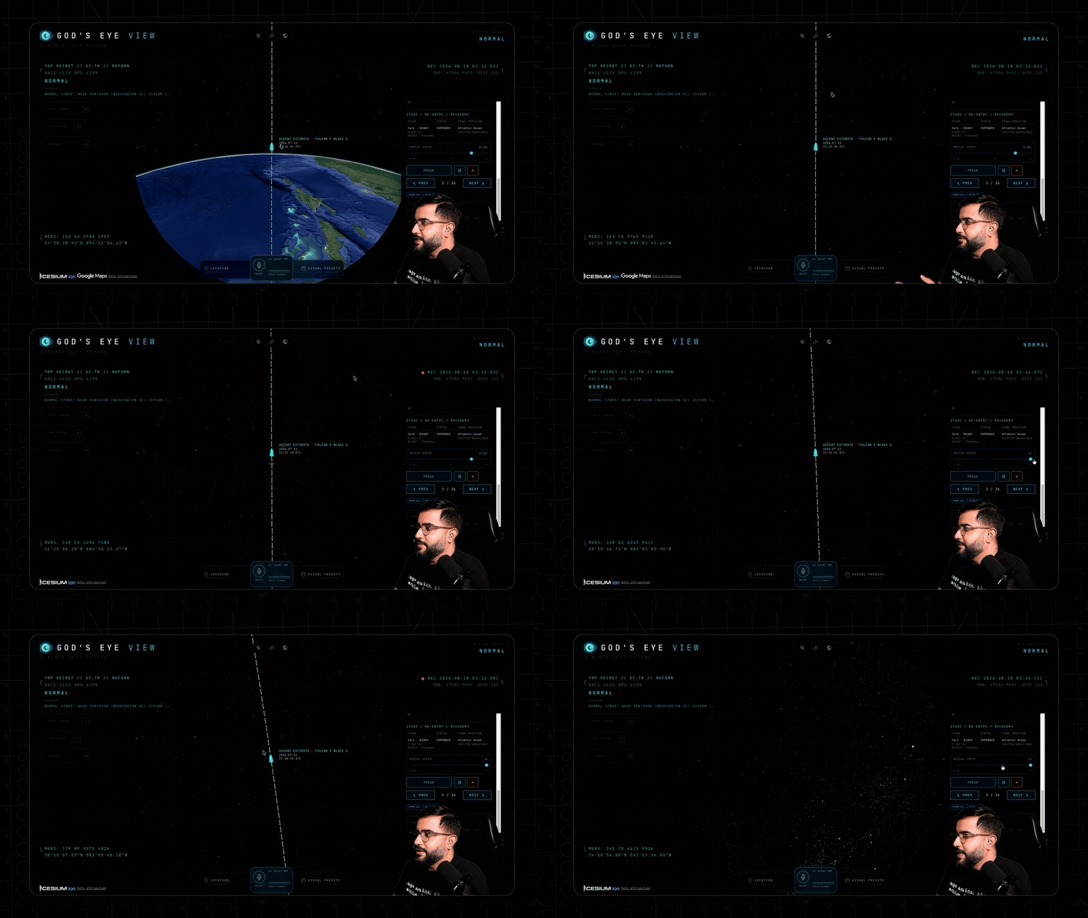
A reconstructed Falcon 9 ascent climbing and curving into its projected orbit
Diving into the Bahamas and revealing labeled submarine cable routes beneath the globe
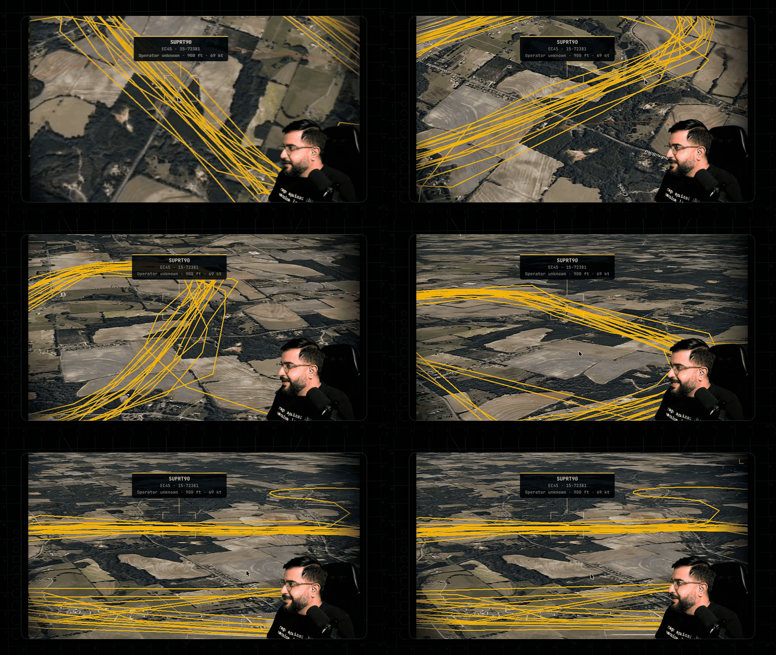
Resolving a selected aircraft's recent flight path into stacked 3D loops above the terrain
Asking for a walking route and flying the generated path through the 3D city
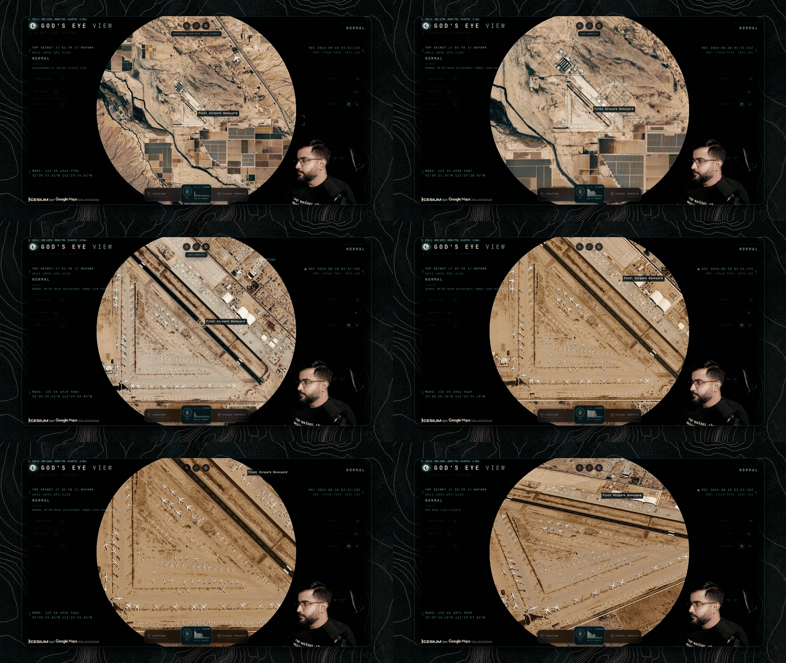
Descending from regional context into dense rows of retired aircraft at the boneyard
docs/media/youtube-popular-videos.png
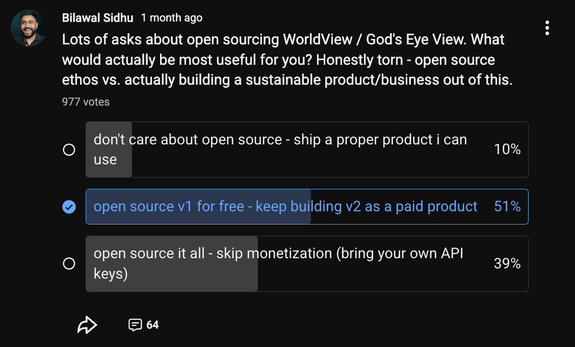
docs/media/open-source-survey.png

评论

ホーム - Wiki
Copyright © 2011-2026 iteam. Current version is 2.155.2. UTC+08:00, 2026-09-23 17:04
浙ICP备14020137号-1